
Ground Penetrating Radar GPR
LOCATING WITH GPR
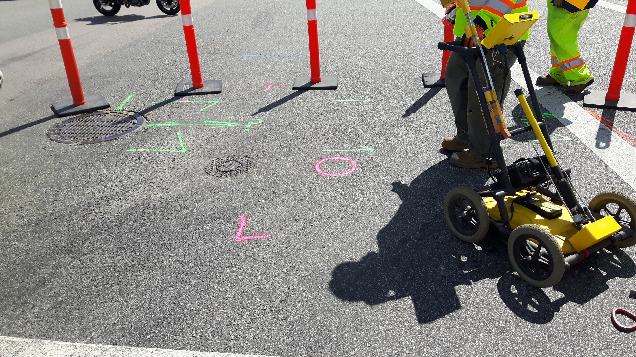
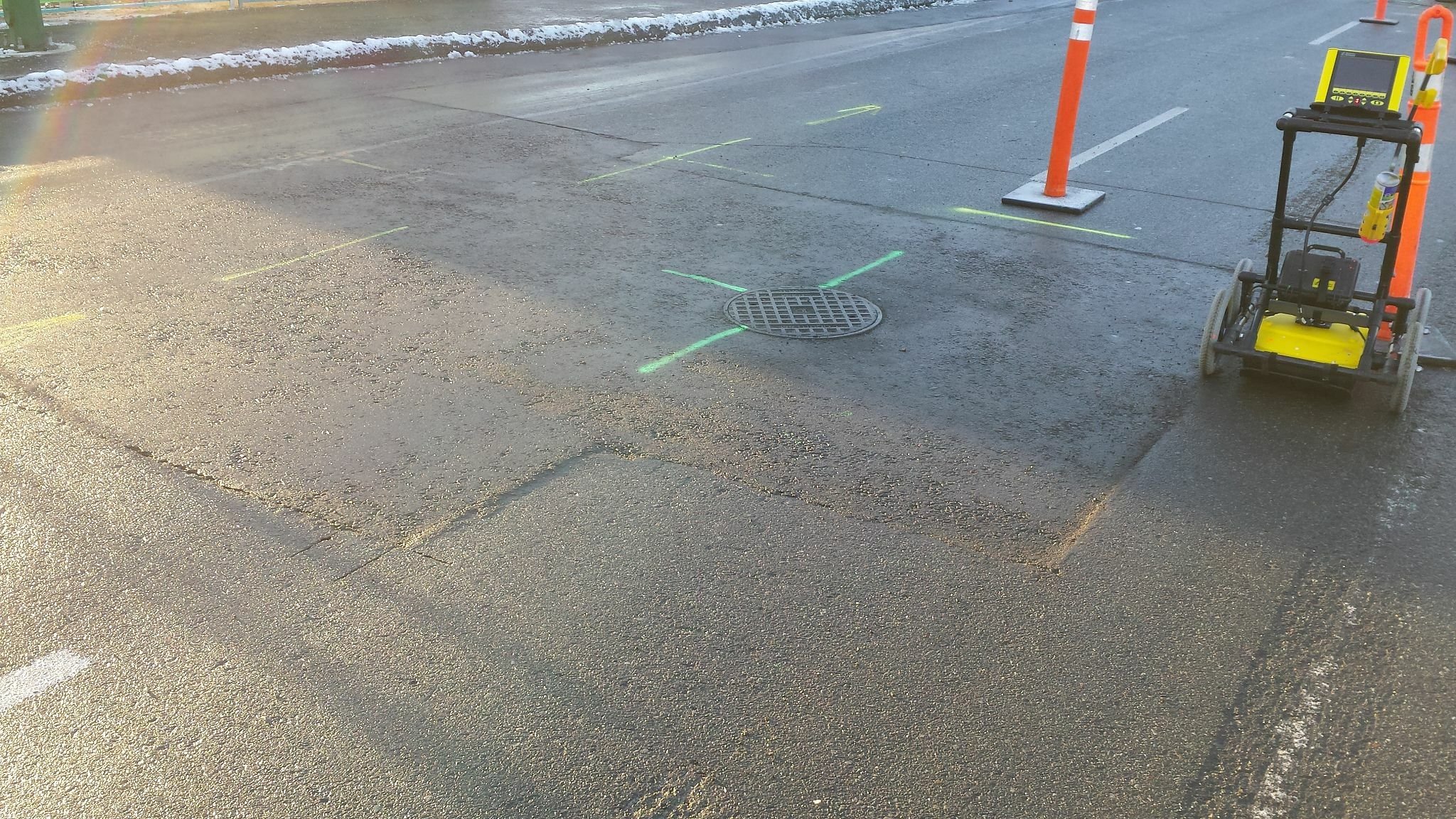
Ground penetrating radar (GPR) is a non-destructive method of detecting and imaging subsurface elements such as buried utilities and infrastructure. GRP equipment utilizes radar pulses to image the subsurface and GPS to pinpoint the radar imaging locations. More advanced ground penetrating radar uses a grid with sidescan to identify depth and size of buried elements. Utilizing GPR is generally non-destructive,
GROUND PENETRATING RADAR EFFECTIVENESS
Atlantic Soft Dig utilizes the latest in Ground penetrating Radar technology and equipment to map and locate elements within the project area. In much of Florida and the southeast US encompassing our service areas, the soil is generally considered medium to low conductivity providing excellent opportunity for reliable GPR results. Our GPR equipment can generally locate and measure:
3D IMAGING WITH GPR
Raw GPR data provides valuable information to assist in locating and identifying underground elements. 3D modeling that GPS data takes it a step further providing greater detail and context. With the latest technology, 3D modeling can much greater detail that can be conveyed to the project team.
Atlantic Soft Dig utilizes GPR location as part of our soft dig locating services. Ground penetrating radar is also available as a stand-alone service. ASD provides GPR services in Throughout the SE US specifically in Jacksonville, FL and throughout Northeast Florida markets, Orlando FL and surrounding central Florida markets, Tampa Florida and surrounding markets, Naples, Ft Myers and portions of SE Florida.
Ground-penetrating radar (GPR) is a non-destructive geophysical method that uses the reflection of electromagnetic energy to produce images of subsurface interfaces and features. It provides a continuous real-time profile of sub-surface features in soil and geologic deposits. The acronym radar is an abbreviation for radio detection and ranging. GPR is a time scaled system which measures the time that it takes pulses of electromagnetic energy to travel from an antenna to an interface (e.g., soil horizon, bedrock, and buried feature) and back.

• Metal pipe and structures
• Medium and dense plastic pipe and conduits
• Concrete structure and pipe, RCP
• Air pockets and voids underneath the surface
• Most piping and underground utilities
• Many cabling wiring sets
• Many fiber optics and telcom sets
UTILITY MAPPING
Ground penetrating radar is an effective means of locating, identifying and mapping underground utilities and their potential conflict with new projects before excavation begins. Often as-builts cannot be relied on for the exact buried depth and locations of existing utilities. Atlantic Soft Dig utilizes the latest in GPR technology to develop accurate maps of the project area to reduce the cost and time expense of conflicts.
